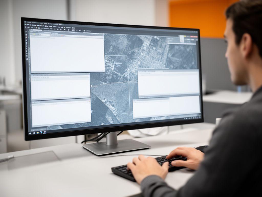
Automated feature extraction from satellite imagery
We detect roads, structures, land-use shifts and environmental changes with a workflow designed to cut repetitive tracing. What if your imagery was ready before the morning stand-up?
TerraGrid AI turns satellite imagery, geospatial records and logistics signals into clean, usable intelligence. Why spend hours tracing features by hand when the workflow can run itself, with predictive mapping that stays useful after the first report lands?

From route planning to feature extraction, we keep the map current without turning your analysts into data janitors.
Our platform is shaped around the real bottlenecks. Need faster satellite classification? Better route intelligence? A dependable way to turn raw map data into something teams can trust? That’s the work we do every day.
We detect roads, structures, land-use shifts and environmental changes with a workflow designed to cut repetitive tracing. What if your imagery was ready before the morning stand-up?
We normalise messy geospatial inputs, align layers and reduce the friction that slows down production mapping.
View map processingSee where demand may move next. Not guesswork. Just sharper spatial forecasting for planning teams.
Explore predictive mappingRoute intelligence that adapts to conditions, delivery priorities and network constraints without endless manual rework.
See logistics AIPeople want proof, not promises. So we focus on measurable throughput, clearer workflows and the kind of gains that show up in weekly reporting.
map features processed each month across batch and live workflows
reduction in manual GIS labour for routine feature extraction tasks
logistics routes optimised for cleaner ETAs and tighter delivery planning
satellite tiles analysed per day in high-volume monitoring programmes
Different sectors. Same need. Faster insight from location data. Which team in your business is still waiting on a manual map update?
Route intelligence, fleet navigation and area coverage models that help teams keep the network moving.
See logistics use casesPredictive layers that support growth scenarios, land-use review and infrastructure decisions.
See planning use casesField monitoring and satellite-based change detection for earlier intervention and better yield awareness.
See agriculture use casesRisk-aware mapping and faster imagery review for claims, exposure models and portfolio analysis.
See insurance use casesWe work closely with operators, analysts and public-sector leads who need their map data to behave properly. Here’s what that feels like from their side.

Our route planning stopped feeling fragile. TerraGrid AI gave us cleaner map data and sharper scheduling logic, and the team noticed the difference within weeks.

Why did we choose TerraGrid AI? Because the extraction pipeline was fast, accurate and easy for our analysts to trust. That matters more than a flashy demo, doesn’t it?

The predictive layers were surprisingly precise, and the support team in Dublin kept the rollout straightforward. We weren’t chasing updates anymore; the workflow just held together.
Request a tailored demo and see how TerraGrid AI can shorten turnaround times, improve map confidence and free your team from repetitive geospatial tasks. Why wait for the next backlog to land?
Dublin-based support, responsive delivery and direct contact from day one.