
Case studies

Real Results From Real Deployments

What changes when map data is processed faster, routes are smarter, and field teams stop wrestling with repetitive GIS chores? You get cleaner decisions, tighter schedules, and a lot less manual guesswork. Across logistics and public-sector work, TerraGrid AI helps teams turn geospatial complexity into measurable progress.

Built for logistics, councils, and agri-tech teams
From satellite imagery to decision-ready outputs
Faster turnarounds Less waiting, more action.
Auditable workflows Traceable outputs for enterprise teams.
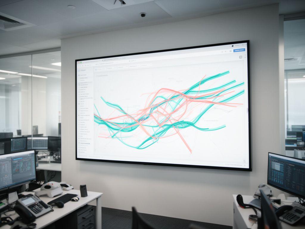
Geospatial analysts reviewing live route intelligence on a large screen in a bright Dublin workspace

Featured projects

Three deployments, three different pressures. Same outcome: less friction.

Could a fleet reduce wasted miles without rebuilding its dispatch process? Can a council clean up land feature extraction without adding headcount? Our client work says yes, and the details matter.

Logistics fleet coordinator checking route maps beside a warehouse loading bay with tablets and printed manifests
Logistics

Fleet operator trims route times with navigational AI

A regional delivery operator was losing minutes on every drop because route planning relied on static maps and too many manual checks. We introduced AI-assisted navigation rules that adapted to traffic patterns, vehicle constraints, and depot priorities. The team now plans quicker, reacts earlier, and keeps drivers moving. Why keep feeding the same delays back into the system?

  • Route build time fell by 43%.
  • Dispatch teams cut manual GIS touchpoints by more than half.
  • Fuel use dropped as turn-by-turn decisions got sharper.
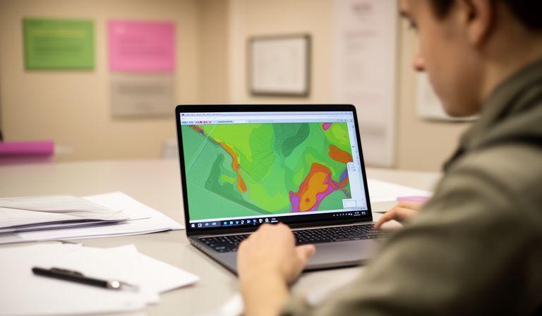
Council GIS specialist comparing satellite feature extraction results on a laptop in a municipal planning office
Government

Regional council automates land feature mapping from satellite data

A public planning team needed up-to-date surface features for transport and land-use work, but the old process leaned heavily on manual review. TerraGrid AI built an extraction workflow that identifies roads, hedgerows, field edges, and built structures from satellite imagery, then routes results into the council's internal mapping pipeline. The result is steadier data and fewer late-night edits.

  • Feature mapping turnaround improved by 68%.
  • Manual validation time fell across every release cycle.
  • Teams gained consistent outputs for planning reviews.
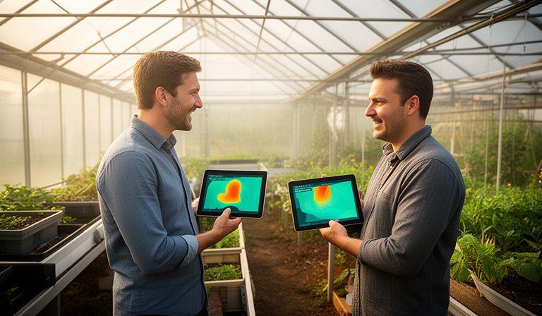
Agri-tech specialists discussing predictive field maps beside a greenhouse with tablet dashboards and crop imagery
Agri-tech

Predictive mapping gives crop monitoring a clearer edge

An agri-tech partner wanted earlier visibility into field variation without asking agronomists to comb through every layer by hand. We combined automated feature extraction with predictive mapping logic, surfacing likely risk zones and seasonal change patterns. Simple to use. Stronger to act on. Isn't that what the team really needed?

  • Monitoring reviews were completed 37% faster.
  • Field prioritisation became clearer for remote teams.
  • More time went into action, less into sorting imagery.

The numbers behind the work

Proof should feel concrete, not fuzzy.

A good map workflow doesn’t just look tidier. It changes how quickly a team can move from raw data to a choice they trust. What does that mean in practice? Less rework, fewer bottlenecks, and a noticeable drop in busywork.

68%

faster mapping turnaround

Across automated feature extraction, teams received cleaner outputs sooner and spent less time chasing versions. Nice and tidy.

54%

reduction in manual GIS hours

We removed repetitive checks from the loop, so specialists could focus on exceptions, quality control, and the decisions that actually need judgement.

12%

fuel savings on optimized routes

Navigational AI helped fleet teams avoid wasteful detours and reduce stop-start patterns. Small improvements, repeated every day, add up fast.

Client voices

When the people using it trust it, the work moves.

Would a dashboard matter if the team didn’t believe it? Not really. That’s why we build around operational reality, then listen closely after launch.

Portrait of Roze Mccalliog smiling in a modern operations office with map displays behind her

Roze Mccalliog

Logistics operations lead

“We cut planning time without asking drivers to change everything at once. That was the key. The routes became cleaner, the team stopped second-guessing the system, and the weekly handover finally felt calm.”

Portrait of Lapreeveigh Vardy reviewing satellite mapping outputs beside a windowed council workspace

Lapreeveigh Vardy

GIS manager, regional council

“The feature extraction workflow gave us consistency we simply didn’t have before. It’s quicker, yes, but the real win is confidence. We can present outputs to planning stakeholders without scrambling for last-minute fixes.”

Premium aerial view of a route optimisation dashboard displayed on a wall-mounted screen in a bright control room
What clients get

A dependable system, not just a one-off report

Our projects don’t end at the first useful output. We shape the workflow so your team can keep using it, keep trusting it, and keep extending it as the data changes. That’s the difference between a nice pilot and something enterprise-ready.

Shorter turnaround cycles

Repeatable automation means less waiting on manual updates. Why let one bottleneck slow every department?

Cleaner geospatial outputs

We refine the data path from source imagery to usable map layers, so the result is easier to review and easier to defend.

Built for collaboration

From logistics planners to GIS teams, everyone gets a clearer view of what changed, why it changed, and what happens next.

Need a proof-of-value that speaks for itself?

We can review your current mapping workflow, pinpoint the slowest steps, and outline a pilot that shows results without dragging your team into a long transformation project. Straightforward. Useful. Measurable.

Speak with TerraGrid AI

Based in Dublin, working with enterprise teams

You can reach us at 8 Ballygall Place, Dublin, IE, or email [email protected]. Prefer a quick call? Ring +353882573111 and we’ll talk through the use case.

Start a conversation

This website uses cookies to enhance your experience and analyze mapping traffic patterns.